Wednesday, August 16, 2017

In and Out of Idaho to Hells Canyon

Tuesday, August 15, 2017
  
This is our last day in Oregon for we leave in the morning for Idaho or so we thought. 

Leaving Baker City we take a drive east toward the small town of Halfway, OR which is again one of those old towns with old buildings and houses and supposedly about halfway to Hells Canyon we guess (though we are not actually sure).  Hells Canyon is our objective for the day.

 Hells Canyon is North America’s deepest gorge  at 7,993 feet.  The byway is actually 218 miles long and takes you through 11 communities.  The Byway encircles the Wallowa Mountains and the route follows the contours of the land from river edge to mountaintop to valley floor.  We will travel but a small portion of this Byway today.

The road we take is Hells Canyon Scenic Byway which is two lane and winds through the hills and mountains with the Powder River running alongside for a while and valleys filled with fields of alfalfa, cattle and farm  houses and barns. This is in contrast to the dry grassy hills and mountains in which these valleys sit.  It is very, very dry here and fire danger is extreme.  


Arriving in Halfway we do our usual drive around to see what is here.  Not too much, but low and behold we do find a very nice quilt shop which of course I cannot resist.  They even have a coffee shop inside where Ron makes himself at home drinking coffee and perusing some free literature from the area while I shop.  I find some fabric for a backing on a wall hanging I have designed and also some Christmas fabric for a couple of Christmas projects I will do for gifts for the family.


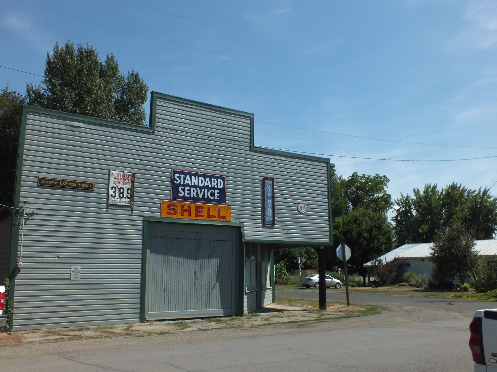
Note the price of gas on the sign


Moving along further, we near the town of Oxbow where believe it or not we cross into Idaho and the Mountain Time Zone by crossing the river.  Here the river is the state border for the two states.  


Now this road becomes even more windy as it winds its way around the reservoir to the dam some 40 more miles away.   There is very little activity on the lake but the scenery is beautiful.  Further along the way is a nice campground with a boat launch where we see a few small RV’s and some people using tents.   


About this time we decide that we have had enough of this road, it is getting late and seeing the dam is no longer a priority in our day so we turn around and head back to Baker City once more in Oregon and the Pacific Time Zone until tomorrow.  

Tuesday, August 15, 2017

Oregon Trail Interpretive Center and Haines, OR

Monday, August 14, 2017

 One of the things Ron and I have been doing in our travels over the past five or six years is to visit Oregon Trail Interpretive Centers to lean more about the people and the reasons so many (350,000 people) traveled the trail to Oregon, California and Utah in the early years of the 1800’s.  While our travels have been mostly from west to east, this year we have actually followed the trail more east to west. 

The Oregon Trail was a wagon road that stretched from Missouri to Oregon’s Willamette Valley, over 2,100 miles of endless prairie, sagebrush, desert, mountains, rivers and wildlife.  Thousands of people, more men than women and children, trekked (mostly walking) with few belongings but much courage and determination.  Death awaited them at every turn not only from accidents, but also from disease and starvation.  These people forever changed the American West.

This Interpretive Center is about 8 miles outside Baker City and I believe is one of the most impressive we have seen with life size displays telling the story of the journey across the country with pictures, videos, journal entries, and artifacts.   Along with the displays, etc., there is an over an hour video which details the entire trip and really gives you an appreciation of what these pioneers endured. 


Watching the wagon trains from afar


Trading with the Indians

Round up in the evening
 Additional displays


An outside display
Returning to Baker City, we turned north on Highway 30.   There are so many small towns everywhere and Haines, Oregon is no different.  We just love seeing the old buildings and learning more about the people who settled these areas.  Haines, OR is no exception. 

Haines was settled in 1885 or 86 and was found along the Oregon Railway and Navigation Company rail line.  Prior to that it was a stage stop.  Today there are a few old buildings and homes
IOOF Building - 1908


1884 Union Pacific Railway Station

Front of Station


and a nice little Memorial Park to the pioneers who settled this town.

Chandler Cabin - 1861


Perkins Cabin - 1800's
 This Letter Drop was built to accommodate miners and settlers who picked up mail infrequently.


 The building was built as a utility shed or barn.

Hale Cabin - 1800's
We returned to the RV and a quiet evening in front of the TV.  Today was the first day in almost two weeks that we can take pictures of the countryside and actually get a clear picture.  The smoke seems to have mostly cleared out at least for now.


Monday, August 14, 2017

Sumpter and Granite

Saturday, August 12, 2017

A drive in the mountains west from Baker City takes us along the Powder River slowly climbing into the mountains and passing the Phelps Reservoir with many recreation areas with campgrounds until we reach the old mining town of Sumpter.


Before reaching Sumpter, we drive down a short road to the railroad station at McEwen, the end of the line for the narrow gauge Sumpter Valley Railroad which runs between the towns of Sumpter and McEwen on designated weekends and for special events.  


The railway began in Baker City in 1890 to haul timber to McEwen and Sumpter.   Business declined in the 1930’s and by 1947 the railway had been abandoned.  In 1976 the first excursion train run by volunteers began its current six mile run.


The town of Sumpter was named for Fort Sumpter, South Carolina by five ex-Confederate soldiers who discovered gold in 1862.  The railroad reached Sumpter in 1896 and the town boomed with a population of 3,500 people and three dozen saloons.  On August 13, 1917 a fire raged through the town destroying 11 city blocks.  Fire and dwindling returns of gold led to the town’s demise. 

The town today has a population of 205 with a few restaurants, a motel, and a gas station plus some old historic buildings and homes.  Many of the old homes appear to be under renovation.  We stop to view the railroad station, take some pictures of the buildings then stop at this Working Dredge sitting along the river.  We had never seen such before and were intrigued with how it worked.


The Dredge was used for mining the river bed for gold.  It was called an expensive but powerful improvement over the shovel and rocker box.  Miners called it the “goose”.  It was fed at the front end, digested soil inside the dredge, keeping the gold it collected, then expelled excess soil    
out the back.  Interesting. 

Continuing for another 18 miles we drive this windy mountain two lane road again climbing and then descending into the town of Granite


 Albert Tabor discovered gold on July 4, 1862 and named the area Independence.  However, in 1876 the name was changed to Granite.  The town was the center of mining activity for over 60 years with over 40 registered gold mines at one time.  Today there is little in the way of business but it appears that many people have restored some of the old buildings and homes or built new ones.  Some of the old businesses have also been converted to homes though the signs on the outside reflect their original use.  Lots of ATV activity here.


We came upon this deer as we drove around.  Unfortunately, he/she never moved away from the post so it is part of the picture.


We return the way we came and are subjected to the first good rain we have seen since we left Albuquerque in late May.  It had pretty much stopped by the time we reached our RV but again came down quite hard as we ate our dinner.  At one point, I saw lightening and then nearly jumped out of my skin as a hard clap of thunder boomed directly overhead.